Bolton Notch State Park
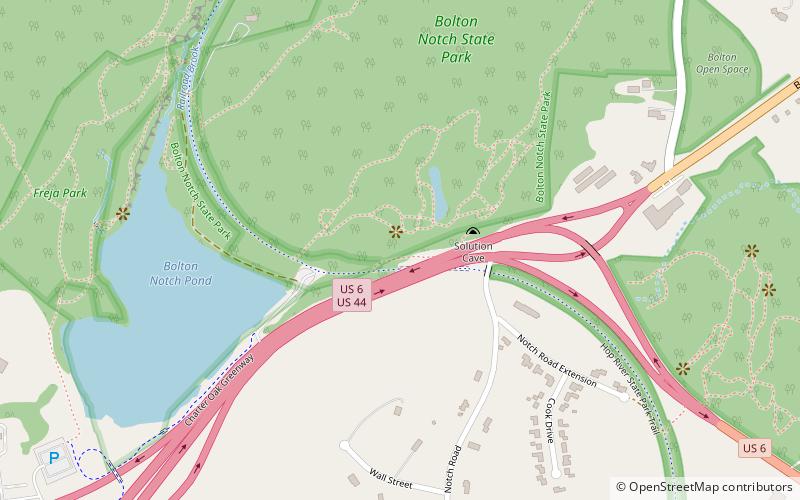
Map
Facts and practical information
Bolton Notch State Park is a public recreation area located in the town of Bolton, Connecticut, on the boundary between the Thames River and Connecticut River watersheds. The state park's 95 acres offer opportunities for hiking, climbing, and cave exploration. ()
Established: 1918 (108 years ago)Coordinates: 41°47'24"N, 72°26'53"W
Day trips
Bolton Notch State Park – popular in the area (distance from the attraction)
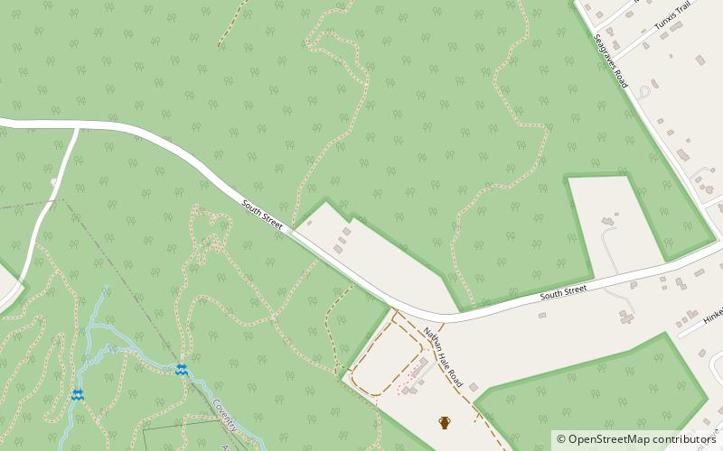
Nearby attractions include: The Shoppes at Buckland Hills, Nathan Hale Homestead, Nathan Hale State Forest, Hop River State Park Trail.


