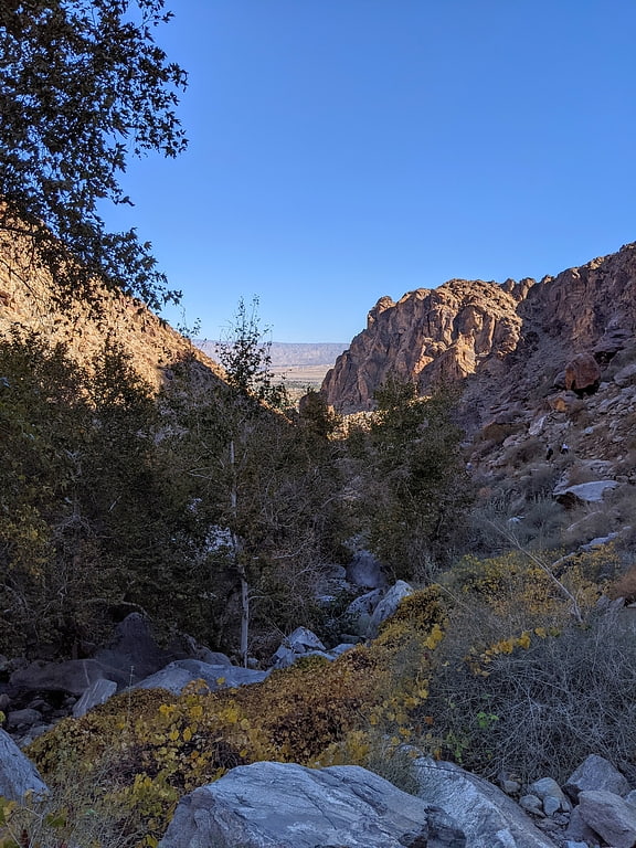
Cactus to Clouds Trail, Palm Springs

Gallery (1)
Map
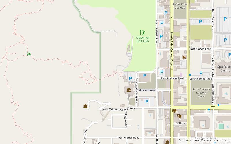
Map
Facts and practical information
The Cactus to Clouds Trail is a hiking route in California. It begins in Palm Springs, California, and ascends to San Jacinto Peak. With a net elevation gain of roughly 10,300 feet, it has one of the greatest elevation increases among day-hike routes in the United States. The elevation gain happens in only 16 miles, also making it one of the steeper trails of its length in the world. The trail runs roughly parallel to the Palm Springs Aerial Tramway, and the upper part of the trail runs very close to the Mountain station of the tramway. ()
Length: 21 miMaximum elevation: 10834 ftMinimal elevation: 520 ftCoordinates: 33°49'31"N, 116°33'4"W
Address
Palm Springs
ContactAdd
Social media
Add
Getting there by public transportation
Public transportation stops near this location
- Bus
 Bus
Bus
- Calculate routePalm Springs Downtown 25 min walk
- Calculate routePalm Springs - Desert Regional Medical Center 27 min walk
Day trips
Cactus to Clouds Trail – popular in the area (distance from the attraction)
Nearby attractions include: Tahquitz Canyon, Plaza Theatre, Art Museum Architecture and Design Center, Palm Springs Art Museum.


Frequently Asked Questions (FAQ)
Which popular attractions are close to Cactus to Clouds Trail?
Nearby attractions include Palm Springs Art Museum, Palm Springs (3 min walk), Annenberg Theater, Palm Springs (3 min walk), Palm Springs Walk of Stars, Palm Springs (8 min walk), American Legion Auxiliary, Palm Springs (8 min walk).
How to get to Cactus to Clouds Trail by public transport?
The nearest stations to Cactus to Clouds Trail:
Bus
Bus
- Palm Springs Downtown • Lines: 2201, N2002 (25 min walk)
- Palm Springs - Desert Regional Medical Center • Lines: 6 (27 min walk)