Cape Liberty Cruise Port, Bayonne
Map

Map

Facts and practical information
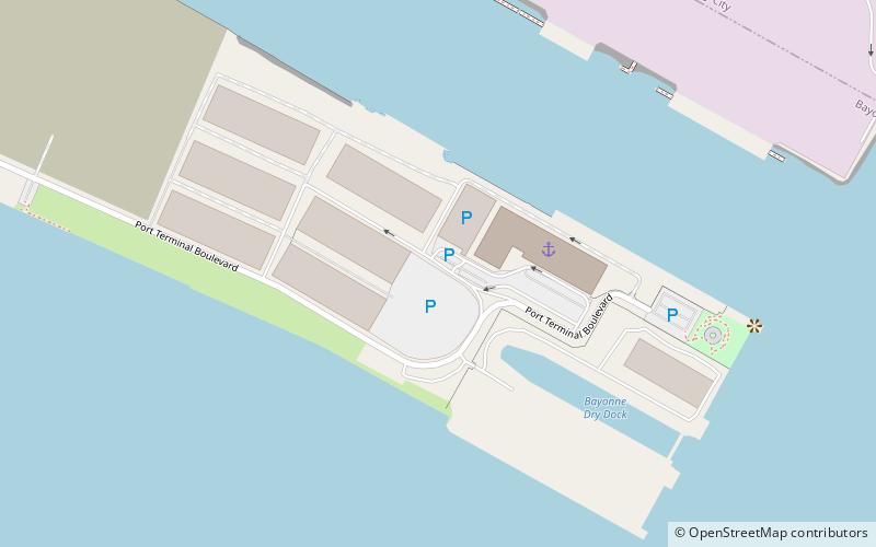
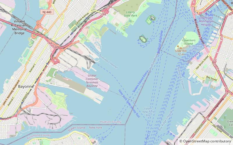
The Cape Liberty Cruise Port is one of three trans-Atlantic passenger terminals in the Port of New York and New Jersey. It is located in Bayonne, New Jersey at the north side of the 2 mi long pier of the Peninsula at Bayonne Harbor, a former military ocean terminal, and began operations in 2004. ()
Opened: 2004 (22 years ago)Coordinates: 40°39'53"N, 74°4'29"W
Day trips
Cape Liberty Cruise Port – popular in the area (distance from the attraction)
Nearby attractions include: To the Struggle Against World Terrorism, Postcards Memorial, Robbins Reef Light, Port Jersey.
Frequently Asked Questions (FAQ)
Which popular attractions are close to Cape Liberty Cruise Port?
Nearby attractions include To the Struggle Against World Terrorism, Bayonne (8 min walk), Port Jersey, Jersey City (12 min walk), Robbins Reef Light, Jersey City (18 min walk).
How to get to Cape Liberty Cruise Port by public transport?
The nearest stations to Cape Liberty Cruise Port:
Bus
Bus
- Richmond Terrace & Saint Peters Placw • Lines: S40, S44 (32 min walk)


