Casual Route, Rocky Mountain National Park
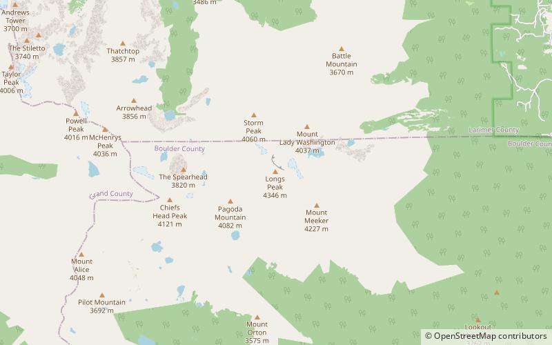
Map

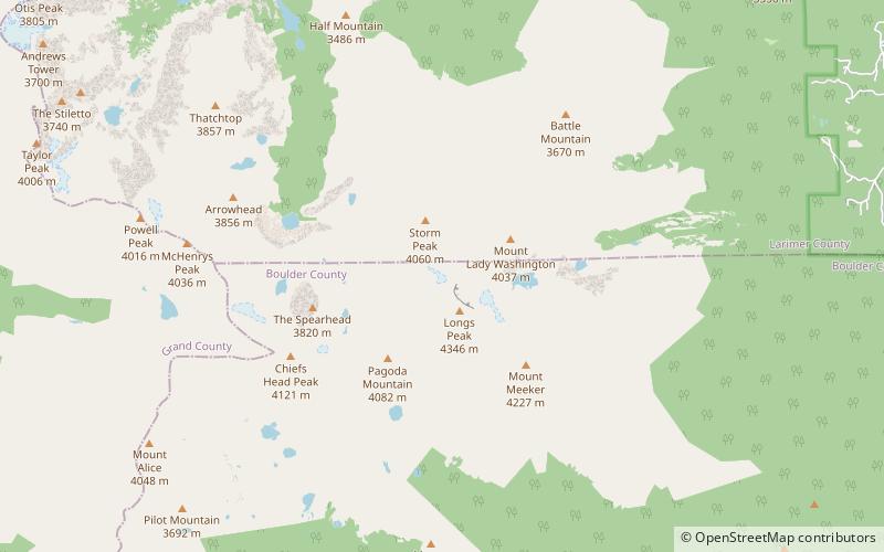
Map

Facts and practical information
The Casual Route is the easiest technical climbing route up the Diamond of Longs Peak. ()
Coordinates: 40°15'17"N, 105°36'54"W
Address
Rocky Mountain National Park
ContactAdd
Social media
Add
Day trips
Casual Route – popular in the area (distance from the attraction)
Nearby attractions include: Longs Peak, Mount Meeker, The Diamond, East Longs Peak Trail.
Frequently Asked Questions (FAQ)
Which popular attractions are close to Casual Route?
Nearby attractions include Longs Peak, Rocky Mountain National Park (1 min walk), Mills Glacier, Rocky Mountain National Park (7 min walk), The Dove, Rocky Mountain National Park (9 min walk), Mount Meeker, Rocky Mountain National Park (18 min walk).


