Chadron State Park

Gallery (1)
Map
Map
Facts and practical information
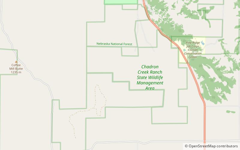
Chadron State Park is a public recreation area located within the Nebraska National Forest, nine miles south of Chadron, Nebraska, in the northwestern portion of the state. The park's 974 acres include a portion of the Pine Ridge escarpment and Chadron Creek. The park is wooded with ponderosa pine throughout and cottonwood trees near the creek and lagoon. ()
Established: 1921 (105 years ago)Coordinates: 42°40'7"N, 103°1'5"W