Chapman Field Park, Miami

Map
Facts and practical information
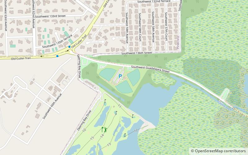
Chapman Field Park is a 483-acre urban park in metropolitan Miami in Miami-Dade County, Florida, in the southern part of Coral Gables, Florida on historic Old Cutler Road. Of its 493 acres, 432 acres remain as mangrove forests and saltwater estuaries; 51 acres is developed as a park. ()
Created: 1949Elevation: 3 ft a.s.l.Coordinates: 25°38'37"N, 80°17'15"W
Address
13600 SW Guadalajara StreetCoral GablesMiami 33156
Contact
+1 305-665-3837
Social media
Add
Day trips
Chapman Field Park – popular in the area (distance from the attraction)
Nearby attractions include: Dadeland Mall, The Shops at Sunset Place, Fairchild Tropical Botanic Garden, Pinecrest Gardens.
Frequently Asked Questions (FAQ)
How to get to Chapman Field Park by public transport?
The nearest stations to Chapman Field Park:
Bus
Bus
- Old Cutler Rd@Deering Bay • Lines: 136 (8 min walk)
- Southwest 67th Avenue & Southwest 124th Street • Lines: 57 (32 min walk)


