Charlestown Breachway State Beach

Gallery (1)
Map
Map
Facts and practical information
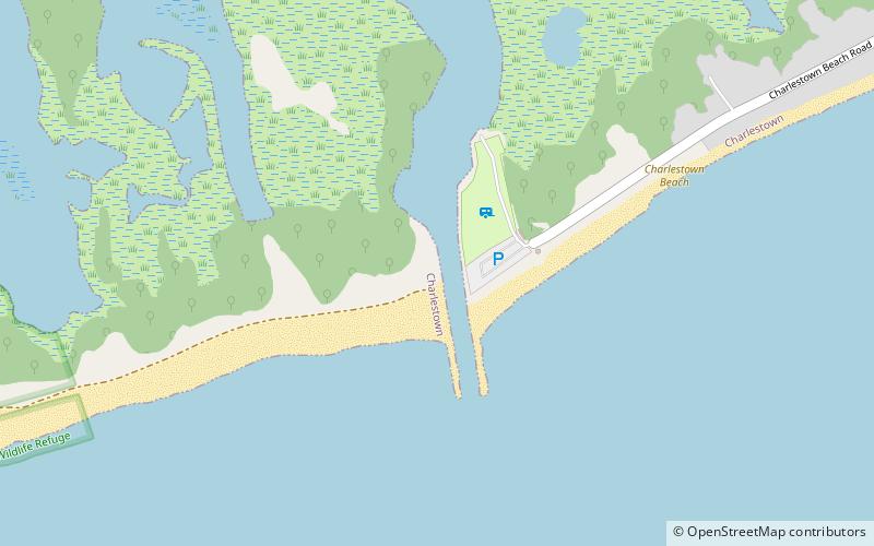
Charlestown Breachway State Beach is a seaside public recreation area on Block Island Sound in the town of Charlestown, Rhode Island. Located on the east side of the manmade channel that connects Ninigret Pond with the Atlantic Ocean, the area offers 75 camping sites for self-contained RVs, ocean swimming, beach activities, salt-water fishing, and a boat launch. ()
Established: 1952 (74 years ago)Coordinates: 41°21'24"N, 71°38'21"W
Day trips