Chemin-A-Haut State Park

Gallery (1)
Map
Map
Facts and practical information
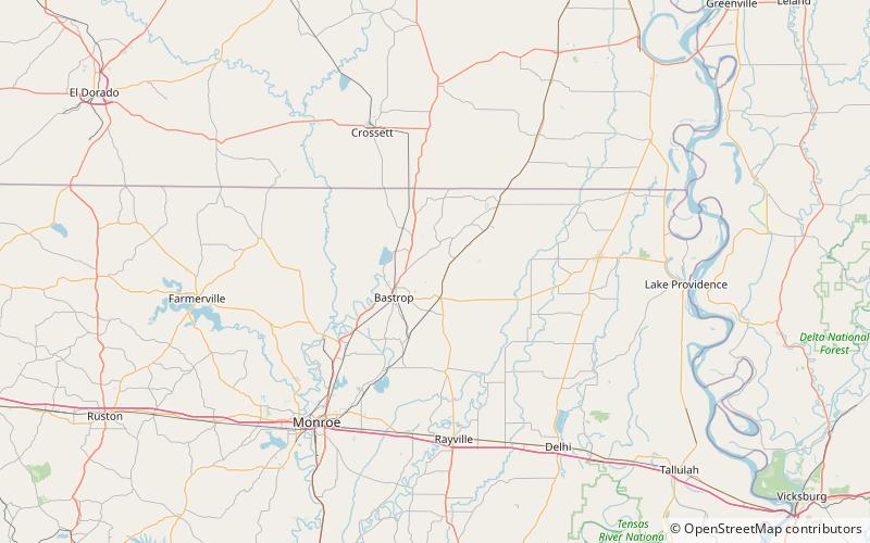
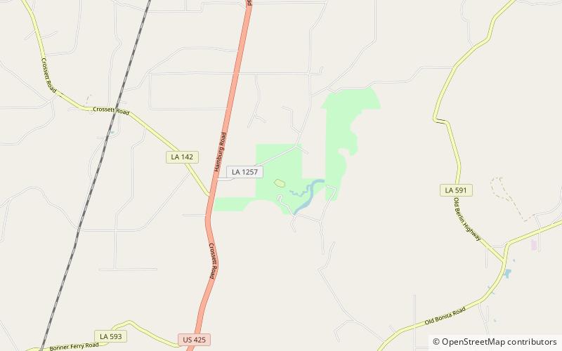
Chemin-A-Haut State Park is a 503-acre site located in northern Morehouse Parish, Louisiana. Visitors may access the park from U.S. Highway 425 about 10 miles north of Bastrop. Chemin-à-Haut means "High Road" in French. Much of the park is on a high bluff overlooking winding Bayou Bartholomew. Chemin-A-Haut was one of the earliest additions to the Louisiana State Park system. ()
Established: 1935 (91 years ago)Coordinates: 32°54'36"N, 91°50'42"W
Day trips
Chemin-A-Haut State Park – popular in the area (distance from the attraction)
Nearby attractions include: Handy Brake National Wildlife Refuge.