Chester F. Phelps Wildlife Management Area
Map

Map

Facts and practical information
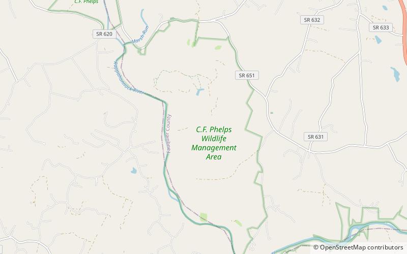
Chester F. Phelps Wildlife Management Area is a 4,539-acre Wildlife Management Area located in Fauquier and Culpeper counties, Virginia. It contains over 1,000 acres of open land previously used for agriculture; additional open areas may be found within the forests on the property. Most of the terrain is rolling, low, and shallow; the steepest land can be seen near the Rappahannock River, which forms a large part of the property's western border. A number of small streams cross the land, and a three-acre pond is located near its center. The forests on the property contain both pine and hardwood. ()
Coordinates: 38°27'9"N, 77°44'55"W
Location
Virginia
ContactAdd
Social media
Add
