Chickasaw State Park
Map

Map

Facts and practical information
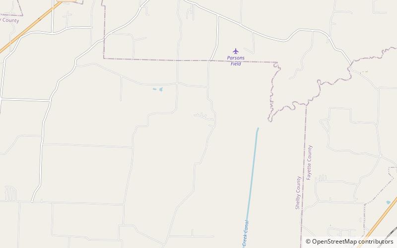
Chickasaw State Park is a state park located in Chester County, Tennessee, in the Southeastern United States. The park consists of 1,280 acres amidst a 14,384 acres state forest, and includes Lake Placid, Lake Lajoie, and some of West Tennessee's highest areas. ()
Coordinates: 35°22'14"N, 89°40'12"W
Day trips
Chickasaw State Park – popular in the area (distance from the attraction)
Nearby attractions include: Arlington.

