Cincinnati Tennis Club, Cincinnati
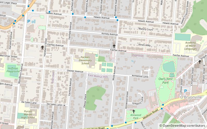
Map

Map

Facts and practical information
The Cincinnati Tennis Club was founded in 1880 just five years after tennis was introduced in America, and is today one of the oldest active tennis clubs in the United States. ()
Coordinates: 39°8'3"N, 84°28'10"W
Address
EvanstonCincinnati
ContactAdd
Social media
Add
Day trips
Cincinnati Tennis Club – popular in the area (distance from the attraction)
Nearby attractions include: Walnut Hills, Walnut Hills Cemetery, Harriet Beecher Stowe House, Saint Francis De Sales Catholic Church.
Frequently Asked Questions (FAQ)
Which popular attractions are close to Cincinnati Tennis Club?
Nearby attractions include Annwood Park, Cincinnati (7 min walk), Owls Nest Park, Cincinnati (8 min walk), John S. Baker House, Cincinnati (10 min walk), Bauer Apartments, Cincinnati (11 min walk).
How to get to Cincinnati Tennis Club by public transport?
The nearest stations to Cincinnati Tennis Club:
Bus
Bus
- Hewitt Ave & Wold Ave • Lines: 31 (6 min walk)
- Madison Rd & Wold Ave • Lines: 11 (8 min walk)


