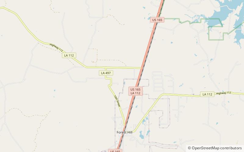
Clark Creek Natural Area
Map

Map

Facts and practical information
Clark Creek Natural Area is a publicly owned, natural preservation area encompassing 700 acres off Mississippi Highway 24 approximately 20 miles west of Woodville, Mississippi. The state park features approximately 50 waterfalls, some with up to 30-foot drops. The park is used for hiking, bird watching, and geocaching. ()
Established: 1978 (48 years ago)Coordinates: 31°4'9"N, 92°31'58"W
