Clay Myers State Natural Area at Whalen Island

Map
Facts and practical information
Clay Myers State Natural Area at Whalen Island is a state park in the U.S. state of Oregon, administered by the Oregon Parks and Recreation Department. The park was created in 2000 and named after a former secretary of state for the State of Oregon, Clay Myers. Although not a true island, Whalen Island is surrounded by Sand Lake Estuary and wetlands. Whalen Island can be visited on a 1.5 miles loop trail around its perimeter. ()
Coordinates: 45°12'27"N, 123°57'4"W
Location
Oregon
ContactAdd
Social media
Add
Day trips
Clay Myers State Natural Area at Whalen Island – popular in the area (distance from the attraction)
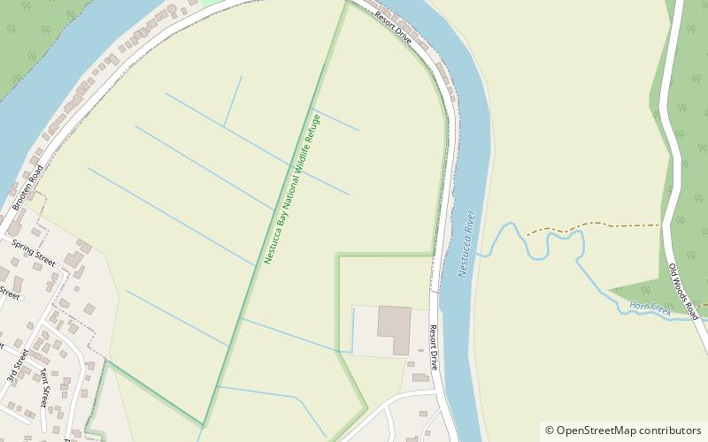
Nearby attractions include: Cape Kiwanda State Natural Area, Nestucca Bay National Wildlife Refuge, Bob Straub State Park.


