Coquille Myrtle Grove State Natural Site, Rogue River–Siskiyou National Forest
Map

Map

Facts and practical information
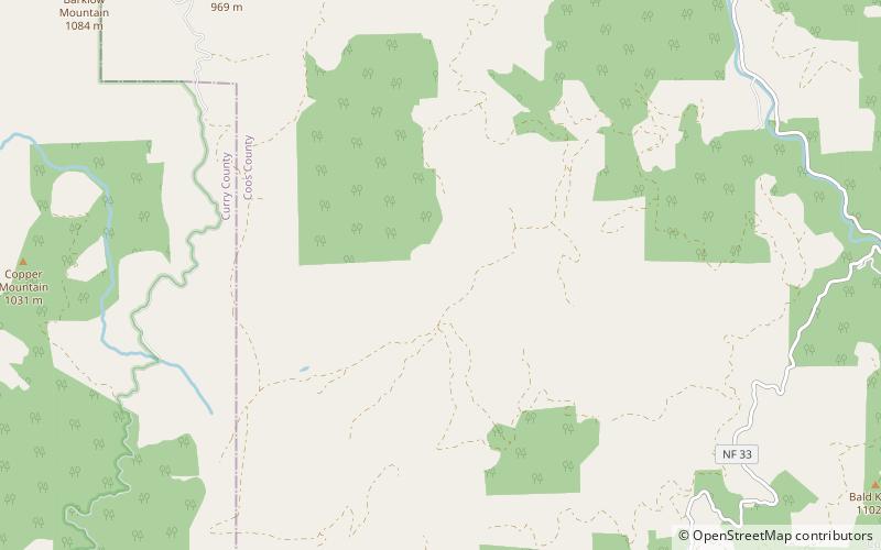
Coquille Myrtle Grove State Natural Site is a state park administered by the Oregon Parks and Recreation Department in the U.S. state of Oregon. The park, bordering the Powers Highway between Myrtle Point and Powers, in Coos County, features a swimming hole and sandy beach along the South Fork Coquille River. Other amenities include parking, picnic tables, restrooms, and access to fishing but no drinking water. ()
Created: 1950Coordinates: 42°43'4"N, 124°6'25"W
Address
Rogue River–Siskiyou National Forest
ContactAdd
Social media
Add
Day trips
Coquille Myrtle Grove State Natural Site – popular in the area (distance from the attraction)
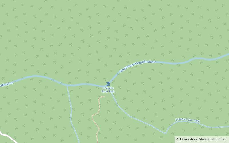
Nearby attractions include: Coquille River Falls, Coquille National Forest, Copper Salmon Wilderness.


