Couchville Cedar Glade State Natural Area
Map

Map

Facts and practical information
Couchville Cedar Glade State Natural Area is a Class II Natural-Scientific state natural area located in Davidson and Wilson counties Tennessee. Its western boundary is contiguous with the eastern boundary of Long Hunter State Park. The park's name reflects its location near the now extinct inundated community of Couchville, Tennessee. ()
Coordinates: 36°5'51"N, 86°33'14"W
Location
Tennessee
ContactAdd
Social media
Add
Day trips
Couchville Cedar Glade State Natural Area – popular in the area (distance from the attraction)
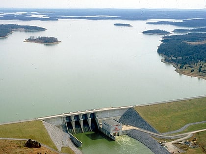
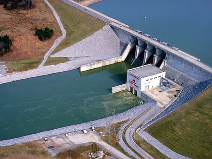
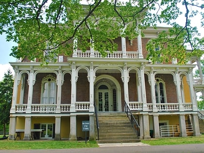
Nearby attractions include: Percy Priest Lake, J. Percy Priest Dam, Clover Bottom Mansion, Mount Juliet.


