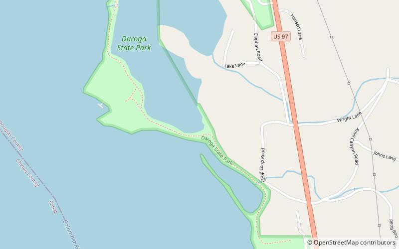
Daroga State Park
Map

Map

Facts and practical information
Daroga State Park is a 127-acre public recreation area on the Columbia River located eight miles north of Orondo at the edge of Washington's Channeled Scablands. The state park has 1.5 miles of river shoreline and offers picnicking, camping, boating, fishing, swimming, waterskiing, birdwatching, wildlife viewing, and other athletic facilities. The park is managed by the Washington State Parks and Recreation Commission under a lease agreement with the owners, the Chelan County Public Utility District. ()
Established: 1981 (45 years ago)Coordinates: 47°42'15"N, 120°11'56"W
