Dixon Springs State Park
Map

Map

Facts and practical information
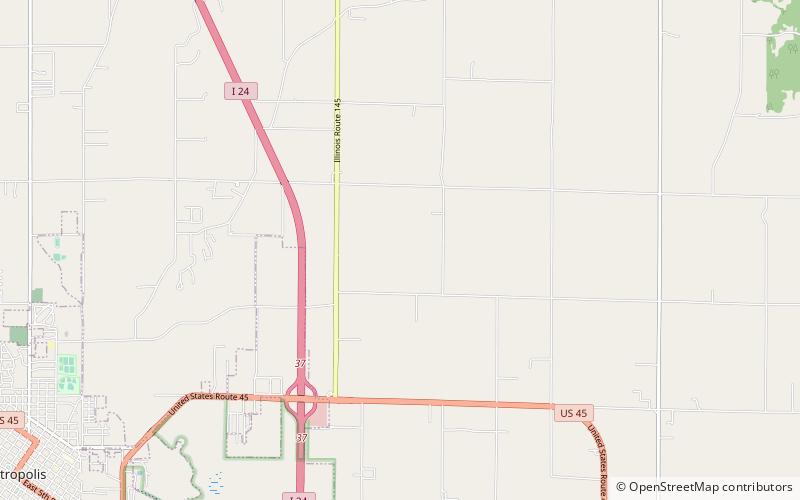
Dixon Springs State Park is an Illinois state park in Pope County, Illinois, United States, and is one of several state parks in the Illinois Shawnee Hills. The park is on a giant block of rock which was dropped 200 feet along a fault that extends northwesterly across Pope County. The 801-acre park is about 10 miles west of Golconda on Illinois Route 146, near its junction with Illinois Route 145. The first land acquisition was in 1946. ()
Established: 1946 (80 years ago)Coordinates: 37°10'54"N, 88°39'56"W
Location
Illinois
ContactAdd
Social media
Add
Day trips
Dixon Springs State Park – popular in the area (distance from the attraction)
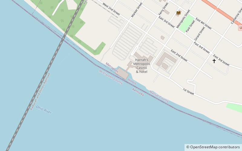
Nearby attractions include: Brookport Bridge, Fort Massac, Harrah's Metropolis, Elijah P. Curtis House.


