Dobbins Landing, Erie

Map
Facts and practical information
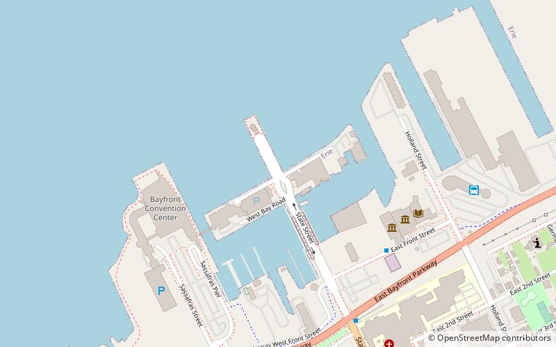
Dobbins Landing is a popular tourist area located at the edge of Presque Isle Bay at the terminus of State Street in Erie, Pennsylvania. Consisting of a wharf and adjoining facilities, the landing includes the Bicentennial Tower, the Sheraton Erie Hotel, and the Bayfront Convention Center. ()
Coordinates: 42°8'16"N, 80°5'27"W
Address
1 Dobbins LaneErie 16501
ContactAdd
Social media
Add
Day trips
Dobbins Landing – popular in the area (distance from the attraction)
Nearby attractions include: Erie Insurance Arena, UPMC Park, Bicentennial Tower, Erie Art Museum.
Frequently Asked Questions (FAQ)
Which popular attractions are close to Dobbins Landing?
Nearby attractions include Presque Isle Water Taxi, Erie (1 min walk), Victorian Princess, Erie (2 min walk), Bicentennial Tower, Erie (3 min walk), Erie Maritime Museum, Erie (6 min walk).
How to get to Dobbins Landing by public transport?
The nearest stations to Dobbins Landing:
Bus
Bus
- Erie Greyhound Station • Lines: 0010 (8 min walk)


