Dosewallips State Park
Map

Map

Facts and practical information
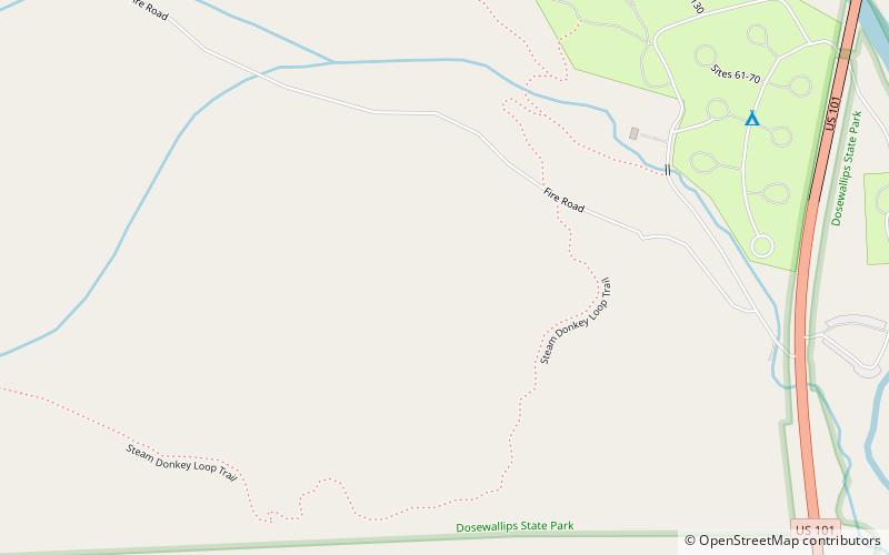
Dosewallips State Park is a public recreation area located where the Dosewallips River empties into Hood Canal in Jefferson County, Washington. The state park's 1,064 acres include both freshwater and saltwater shorelines. The park offers opportunities for picnicking, camping, hiking, boating, fishing, swimming, scuba diving, and shellfish harvesting. ()
Established: 1954 (72 years ago)Coordinates: 47°41'12"N, 122°54'25"W
Day trips
Dosewallips State Park – popular in the area (distance from the attraction)
Nearby attractions include: Seabeck.

