Eagle Valley, Carson City
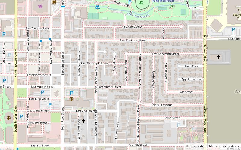
Map
Facts and practical information
Eagle Valley is the area encompassing Carson City, Nevada. The valley was first settled during the California Gold Rush of 1849. The discovery of Nevada's Comstock Lode in 1859 established the economic importance of the area, which would become the site of the Nevada State Capitol. ()
Coordinates: 39°9'55"N, 119°45'25"W
Address
Carson City
ContactAdd
Social media
Add
Getting there by public transportation
Public transportation stops near this location
- Bus
 Bus
Bus
- Calculate routeRobinson/Walsh 8 min walk
- Calculate routeRoop/Washington 9 min walk
- Calculate routeStewart/5th 13 min walk
Day trips


Frequently Asked Questions (FAQ)
Which popular attractions are close to Eagle Valley?
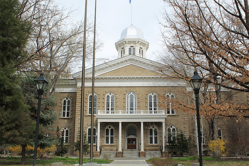
Nearby attractions include Carson City Civic Auditorium, Carson City (10 min walk), Nevada State Capitol, Carson City (13 min walk), Carson Nugget, Carson City (13 min walk), Paul Laxalt Building, Carson City (14 min walk).
How to get to Eagle Valley by public transport?
The nearest stations to Eagle Valley:
Bus
Bus
- Robinson/Walsh • Lines: 1 (8 min walk)
- Roop/Washington • Lines: 1 (9 min walk)