Engelmann Woods Natural Area

Gallery (1)
Map
Map
Facts and practical information
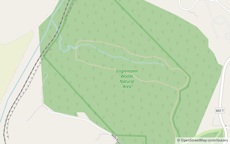
Engelmann Woods Natural Area consists of 149 acres in northeastern Franklin County, Missouri. It is located southwest of the town of St. Albans on a bluff overlooking the Missouri River. ()
Established: 1942 (84 years ago)Coordinates: 38°34'7"N, 90°46'42"W
Location
Missouri
ContactAdd
Social media
Add
Day trips


