Fiery Fork Conservation Area

Gallery (1)
Map
Map
Facts and practical information
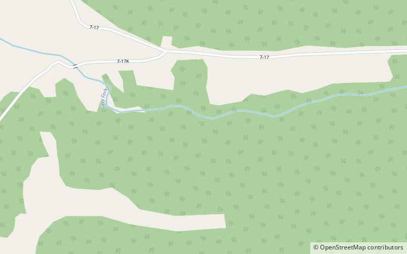
Fiery Fork Conservation Area is a public area in Camden County, Missouri, along the Little Niangua River. It is 1,606 acres large. It is mostly wooded with oak trees and some open space. The park includes a small campground, fishing, hiking, hunting, wildlife viewing, and small-boat access to the Little Niangua River. ()
Coordinates: 38°4'56"N, 92°57'22"W