Florida State University, Tallahassee
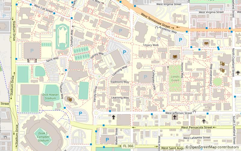
Map
Facts and practical information
Florida State University is a public research university in Tallahassee, Florida. It is a senior member of the State University System of Florida. Founded in 1851, it is located on the oldest continuous site of higher education in the state of Florida. ()
Address
600 W College AveFlorida State UniversityTallahassee
Contact
+1 850-644-1085
Social media
Add
Getting there by public transportation
Public transportation stops near this location
- Bus
 Bus
Bus
- Calculate routeGate 1 25 min walk
- Calculate routeGate 19 25 min walk
- Calculate routeGate 10 25 min walk
- Calculate routeGate 20 25 min walk
Day trips
Florida State University – popular in the area (distance from the attraction)
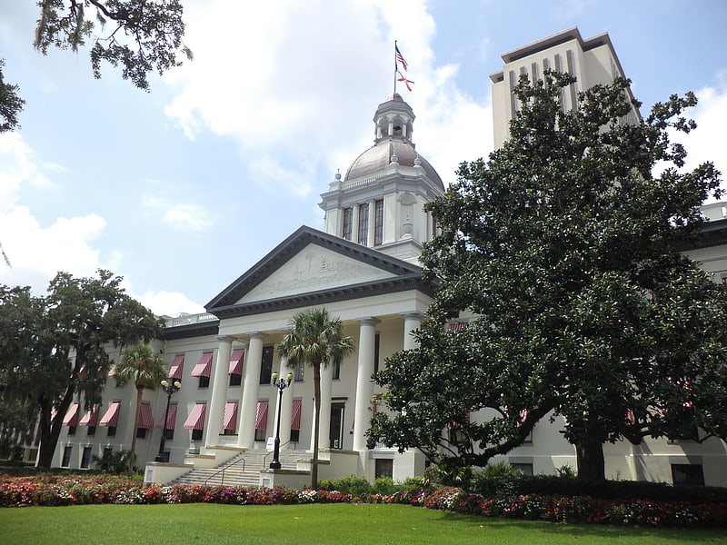
Nearby attractions include: Florida State Capitol, Doak Campbell Stadium, Museum of Florida History, Florida State University College of Fine Arts.


Frequently Asked Questions (FAQ)
Which popular attractions are close to Florida State University?
Nearby attractions include Dirac Science Library, Tallahassee (6 min walk), Co-Cathedral of Saint Thomas More, Tallahassee (9 min walk), Florida State University College of Human Sciences, Tallahassee (9 min walk), Ruge Hall, Tallahassee (10 min walk).
How to get to Florida State University by public transport?
The nearest stations to Florida State University:
Bus
Bus
- Gate 1 • Lines: Heritage (25 min walk)
- Gate 19 • Lines: 5, K (25 min walk)