Fraser Experimental Forest, Arapaho National Forest
Map

Map

Facts and practical information
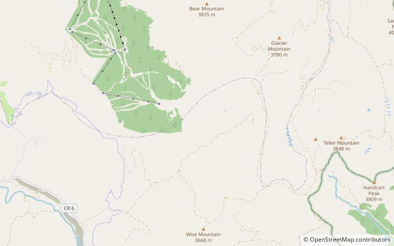
The Fraser Experimental Forest is an outdoor research laboratory to study timber, water, wildlife management, and their integration in the high elevation subalpine coniferous forests. The experimental forest was established in 1937, and encompasses 9,328 hectares. It is situated on the west side of the Continental Divide in north-central Colorado and includes the entire watershed of Main St. Louis Creek, a tributary of the Fraser River. ()
Coordinates: 39°32'24"N, 105°54'25"W
Address
Arapaho National Forest
ContactAdd
Social media
Add
Day trips
Fraser Experimental Forest – popular in the area (distance from the attraction)
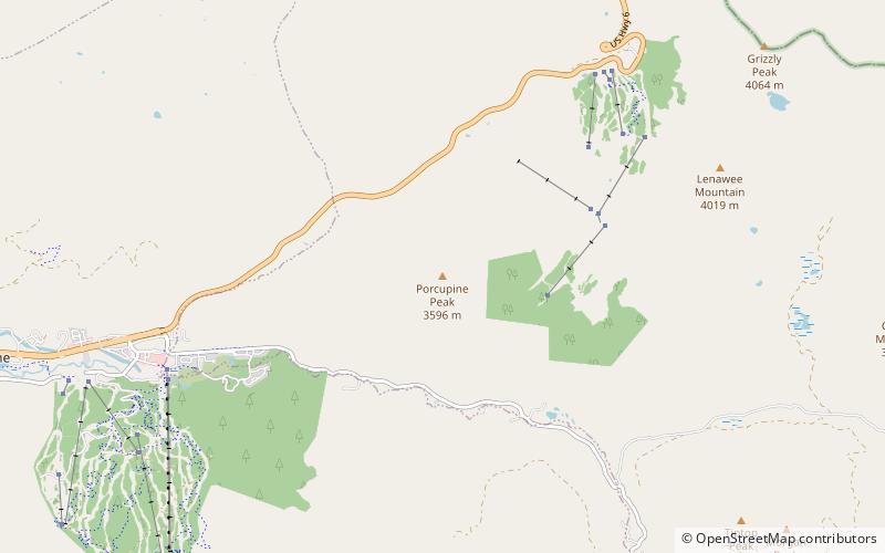
Nearby attractions include: Goodtimes Adventures, Porcupine Peak.


