Grand Rapids Community College, Grand Rapids

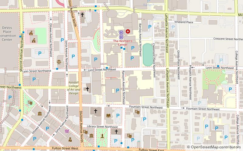
Map
Facts and practical information
Grand Rapids Community College is a public community college in Grand Rapids, Michigan. ()
Established: 1914 (112 years ago)Coordinates: 42°58'1"N, 85°39'54"W
Day trips
Grand Rapids Community College – popular in the area (distance from the attraction)
Nearby attractions include: Grand Rapids Art Museum, Van Andel Arena, La Grande Vitesse, Fountain Street Church.
Frequently Asked Questions (FAQ)
Which popular attractions are close to Grand Rapids Community College?
Nearby attractions include Crescent Park, Grand Rapids (4 min walk), Grand Rapids Public Library, Grand Rapids (4 min walk), Fountain Street Church, Grand Rapids (5 min walk), Ryerson Library, Grand Rapids (5 min walk).
How to get to Grand Rapids Community College by public transport?
The nearest stations to Grand Rapids Community College:
Bus
Train
Bus
- GRCC/Spectrum • Lines: 90 (3 min walk)
- Fulton Street • Lines: 90 (7 min walk)
Train
- Grand Rapids (23 min walk)


