Hank DeVincent Field, Philadelphia
Map
Facts and practical information
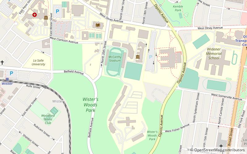
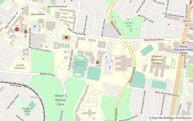
Hank DeVincent Field is a baseball venue located on the campus of La Salle University in Philadelphia, Pennsylvania, United States. The field was home to the La Salle Explorers baseball team of the NCAA Division I Atlantic 10 Conference. The field holds a capacity of 1,000 spectators. ()
Capacity: 1000Coordinates: 40°2'11"N, 75°9'12"W
Address
Upper North District (Logan)Philadelphia
ContactAdd
Social media
Add
Getting there by public transportation
Public transportation stops near this location
- Metro
- Bus
- Train
 Metro
Metro
- Calculate routeWister 11 min walk
- Calculate routeGermantown 26 min walk
- Calculate routeWayne Junction 26 min walk
- Calculate routeFern Rock Transportation Center 27 min walk
- Calculate routeOlney Transportation Center 13 min walk
- Calculate routeLogan 15 min walk
- Calculate routeWyoming 23 min walk
- Calculate routeFern Rock Transportation Center 25 min walk
- Calculate routeOlney Transportation Center 14 min walk
Maps SEPTA Regional Rail
SEPTA Regional RailDay trips


Frequently Asked Questions (FAQ)
Which popular attractions are close to Hank DeVincent Field?
Nearby attractions include La Salle University Art Museum, Philadelphia (3 min walk), Wister, Philadelphia (7 min walk), Joseph Pennell School, Philadelphia (13 min walk), Henry S. Frank Memorial Synagogue, Philadelphia (14 min walk).
How to get to Hank DeVincent Field by public transport?
The nearest stations to Hank DeVincent Field:
Train
Metro
Bus
Train
- Wister (11 min walk)
- Germantown (26 min walk)
Metro
- Olney Transportation Center • Lines: Bsl (13 min walk)
- Logan • Lines: Bsl (15 min walk)
Bus
- Olney Transportation Center (14 min walk)