Indiana Tech, Fort Wayne

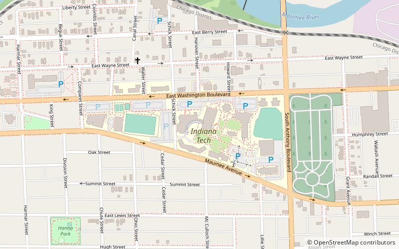
Map
Facts and practical information
Indiana Institute of Technology is a private university in Fort Wayne, Indiana. It was founded in 1930 as Indiana Technical College by John A. Kalbfleisch, who was also the school's first president. ()
Established: 1930 (96 years ago)Coordinates: 41°4'41"N, 85°7'6"W
Day trips
Indiana Tech – popular in the area (distance from the attraction)
Nearby attractions include: Fort Wayne Museum of Art, Foellinger-Freimann Botanical Conservatory, Cathedral of the Immaculate Conception, Embassy Theatre.
Frequently Asked Questions (FAQ)
Which popular attractions are close to Indiana Tech?
Nearby attractions include African / African American Historical Society Museum of Allen County, Fort Wayne (20 min walk), Alexander Taylor Rankin House, Fort Wayne (23 min walk), Saint Paul's Evangelical Lutheran Church, Fort Wayne (24 min walk), McColloch-Weatherhogg Double House, Fort Wayne (24 min walk).
How to get to Indiana Tech by public transport?
The nearest stations to Indiana Tech:
Bus
Bus
- Citilink (30 min walk)


