Kent State University Airport, Kent

Map
Facts and practical information
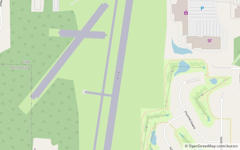
Kent State University Airport is a public airport in Stow, Ohio, United States owned by Kent State University. The airport is located along State Route 59 approximately three miles west of the central business district of Kent. ()
Coordinates: 41°9'5"N, 81°24'54"W
Day trips
Kent State University Airport – popular in the area (distance from the attraction)
Nearby attractions include: Chapel Hill Mall, Unitarian Universalist Church of Kent, Water Works Family Aquatic Center, The Kent Stage.
Frequently Asked Questions (FAQ)
How to get to Kent State University Airport by public transport?
The nearest stations to Kent State University Airport:
Bus
Bus
- KSU Airport • Lines: 30 (11 min walk)
- Target Plaza • Lines: 30 (12 min walk)


