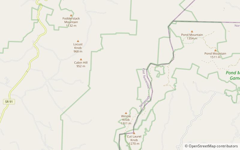
Mount Rogers National Recreation Area
Map

Map

Facts and practical information
Mount Rogers National Recreation Area is a United States national recreation area in southwestern Virginia near the border with Tennessee and North Carolina. It centerpiece is the Lewis Fork Wilderness containing Mount Rogers, the highest point in the state of Virginia with a summit elevation of 5,729 feet. The recreation area is under the jurisdiction of the George Washington and Jefferson National Forests. The recreation area was established by an act of the United States Congress on May 31, 1966. ()
Established: 1966 (60 years ago)Elevation: 3698 ft a.s.l.Coordinates: 36°33'48"N, 81°42'28"W
Day trips
Mount Rogers National Recreation Area – popular in the area (distance from the attraction)
Nearby attractions include: Damascus.

