LaBarque Creek Conservation Area
Map

Map

Facts and practical information
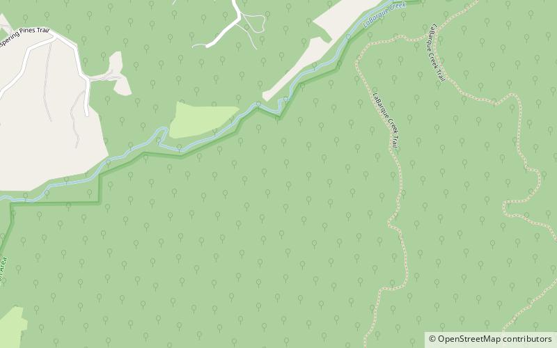
LaBarque Creek Conservation Area consists of 1,274 acres in northwestern Jefferson County, Missouri. It is south of Pacific and southwest of Eureka. The LCCA is part of the Henry Shaw Ozark Corridor. The Young Conservation Area is about 2 miles to the east, Myron and Sonya Glassberg Family Conservation Area is 1.2 mi to the northeast, Pacific Palisades Conservation Area is 3.3 miles to the north, Catawissa Conservation Area is 3.5 miles northwest, and Robertsville State Park is 4.7 miles west. ()
Established: 2005 (21 years ago)Coordinates: 38°24'60"N, 90°42'23"W
Day trips
LaBarque Creek Conservation Area – popular in the area (distance from the attraction)
Nearby attractions include: Route 66 Realtors, Black Madonna Shrine, Allenton Access, Young Conservation Area.


