Lake of the Ozarks State Park
Map

Map

Facts and practical information
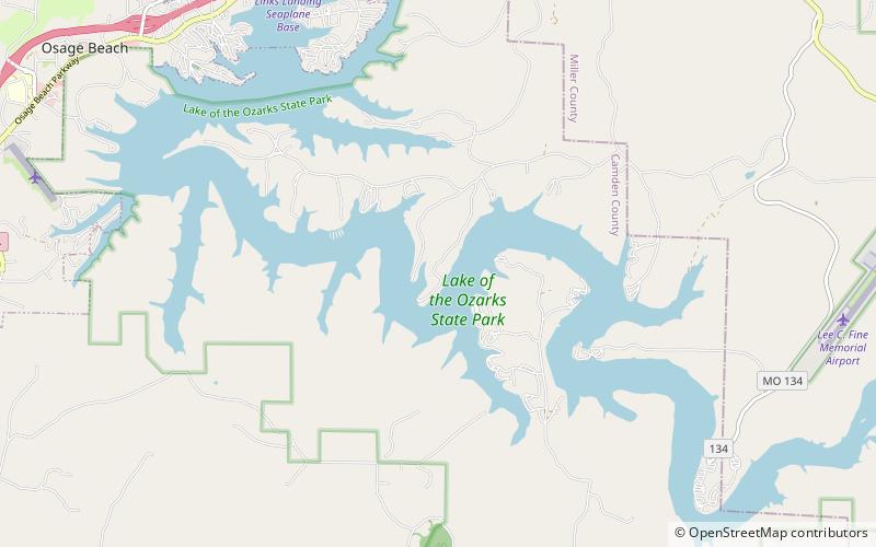
Lake of the Ozarks State Park is a Missouri state park on the Grand Glaize Arm of the Lake of the Ozarks and is the largest state park in the state. This is also the most popular state park in Missouri, with over 2.5 million visitations in 2017. ()
Established: 1946 (80 years ago)Coordinates: 38°5'53"N, 92°37'1"W
Day trips
Lake of the Ozarks State Park – popular in the area (distance from the attraction)
Nearby attractions include: Lazer Force Lazer Tag Osage Beach, Linn Creek.


