Las Vegas Country Club, Las Vegas
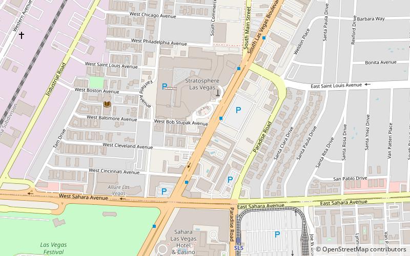
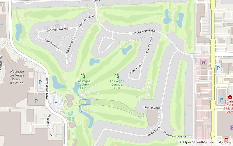
Map
Map

Facts and practical information
The Las Vegas Country Club is a private membership club located in the Winchester area of metropolitan Las Vegas, Nevada. ()
Coordinates: 36°8'9"N, 115°8'38"W
Day trips
Las Vegas Country Club – popular in the area (distance from the attraction)
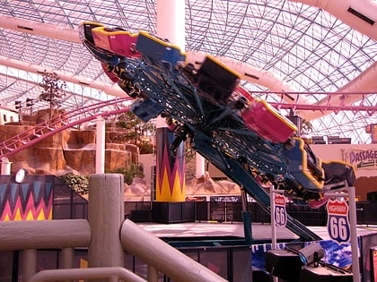
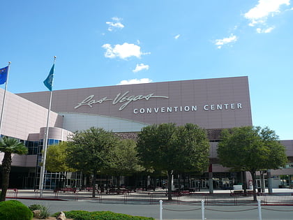
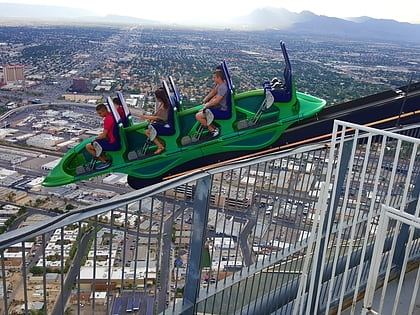
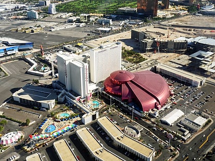
Nearby attractions include: Adventuredome, The Strat Hotel, Casino and SkyPod, Big Shot Ride, Las Vegas Convention Center.
Frequently Asked Questions (FAQ)
Which popular attractions are close to Las Vegas Country Club?
Nearby attractions include Westgate Las Vegas Resort & Casino, Las Vegas (12 min walk), Turnberry Towers, Las Vegas (16 min walk), Turnberry Place, Las Vegas (19 min walk), Crown Las Vegas, Las Vegas (21 min walk).
How to get to Las Vegas Country Club by public transport?
The nearest stations to Las Vegas Country Club:
Train
Bus
Train
- Westgate (13 min walk)
- Las Vegas Convention Center (19 min walk)
Bus
- Paradise @Desert Inn (19 min walk)
- Sahara • Lines: Deuce (24 min walk)
