Lava Falls Trail, Grand Canyon National Park
Map

Map

Facts and practical information
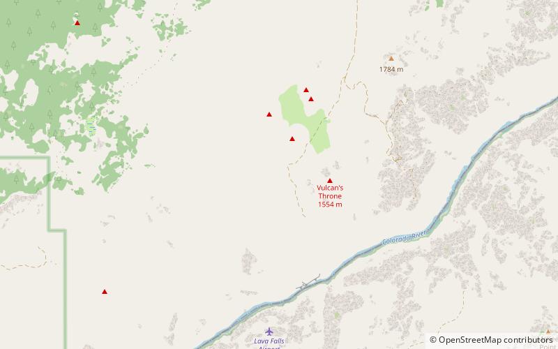
The Lava Falls Trail is a hiking trail on the North Rim of the Grand Canyon National Park, located in the U.S. state of Arizona. It descends from the north rim of the Grand Canyon just west of the extinct volcano known as Vulcan's Throne to the Colorado River. ()
Length: 2 miCoordinates: 36°13'12"N, 113°5'24"W
Address
Grand Canyon National Park
ContactAdd
Social media
Add
Day trips
Lava Falls Trail – popular in the area (distance from the attraction)
Nearby attractions include: Vulcan's Throne, Tuckup Trail, Toroweap Overlook.


