Lee State Park
Map

Map

Facts and practical information
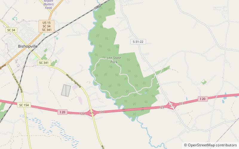
Lee State Park, formerly Lee State Natural Area, is a state park located near the town of Bishopville in Lee County, South Carolina along the Lynches River. ()
Created: 1935Coordinates: 34°12'17"N, 80°11'45"W
Location
South Carolina
ContactAdd
Social media
Add
Day trips
Lee State Park – popular in the area (distance from the attraction)
Nearby attractions include: Pearl Fryar, James Carnes House, William Rogers House, South Main Historic District.


