Lesner Bridge, Virginia Beach

Map
Facts and practical information
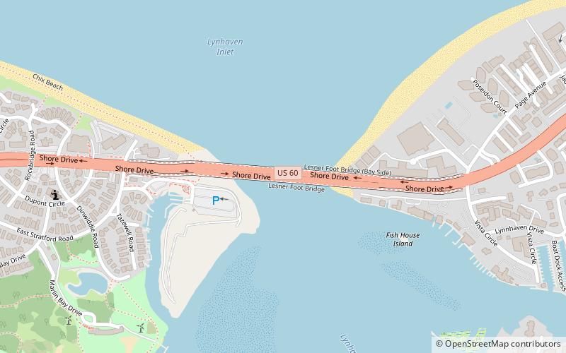
The Lesner Bridge in Virginia Beach, Virginia connects the bay area to the Virginia Beach shore via Shore Drive — crossing the Lynnhaven Inlet at the mouth the Chesapeake Bay. The bridge lies approximately three miles from the southern terminus of the Chesapeake Bay Bridge-Tunnel. The first bridge in the same location, a draw-bridge, had been constructed in 1928, replaced in 1958 by what are now the eastbound lanes of a dual span. Westbound lanes were constructed as a parallel span in 1967. ()
Coordinates: 36°54'27"N, 76°5'31"W
Address
Virginia Beach
ContactAdd
Social media
Add
Day trips
Lesner Bridge – popular in the area (distance from the attraction)
Nearby attractions include: Pembroke Mall, Cape Henry Lighthouse, Cape Henry Memorial, Adam Thoroughgood House.


