Lewis and Clark State Park

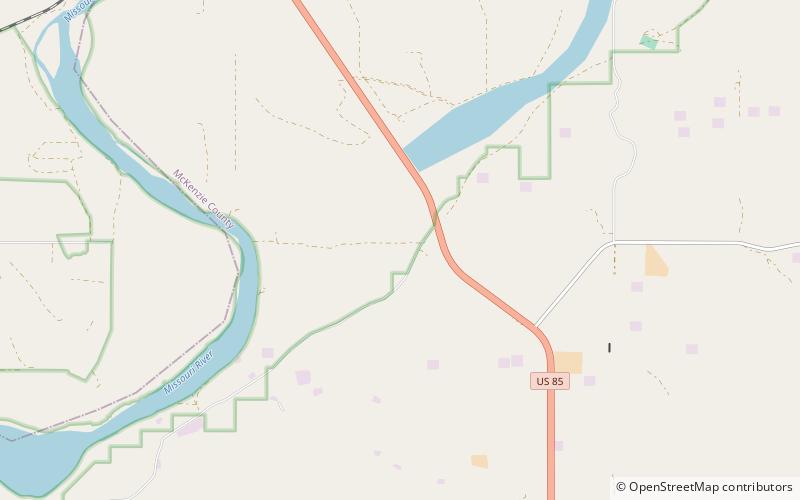
Map
Facts and practical information
Lewis and Clark State Park is a public recreation area occupying 525 acres on the north shore of the upper reaches of Lake Sakakawea 18 miles east of Williston in Williams County, North Dakota. The state park offers fishing, boating, camping, and picnicking. ()
Established: 1973 (53 years ago)Coordinates: 48°4'1"N, 103°41'2"W