Livermore Valley, Livermore
Map

Map

Facts and practical information
The Livermore Valley, historically known as the Valle de San José, is a valley in Alameda County, California, located in the East Bay region. The city of Livermore is located in the valley. ()
Elevation: 545 ft a.s.l.Coordinates: 37°41'19"N, 121°44'10"W
Day trips
Livermore Valley – popular in the area (distance from the attraction)
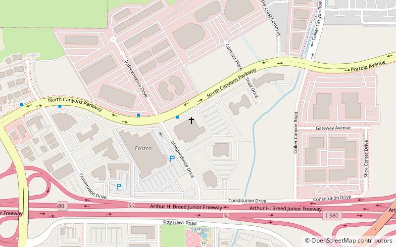
Nearby attractions include: Cornerstone Fellowship, Bankhead Theater, Livermore Carnegie Library and Park, Centennial Light.
Frequently Asked Questions (FAQ)
How to get to Livermore Valley by public transport?
The nearest stations to Livermore Valley:
Bus
Train
Bus
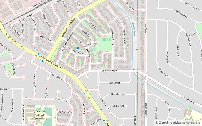
- North Mines Road & Charlotte Way • Lines: 20X (5 min walk)
Train
- Vasco Road (30 min walk)


