Lost Arrow Spire Tip, Yosemite National Park
Map

Map

Facts and practical information
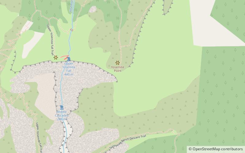
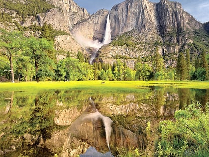
The Lost Arrow Spire Tip is a popular technical climbing route up Lost Arrow Spire, a detached pillar in Yosemite National Park, in Yosemite Valley, California, located immediately adjacent to Upper Yosemite Falls. This route begins at an area called The Notch. The Notch can be reached by making two rappels from valleys main wall or by climbing to it via another route from the base of the Lost Arrow Spire. For example, the Lost Arrow Spire Chimney uses the Lost Arrow Spire Tip as its finish. ()
Coordinates: 37°45'22"N, 119°35'35"W
Address
Yosemite National Park
ContactAdd
Social media
Add
Day trips
Lost Arrow Spire Tip – popular in the area (distance from the attraction)
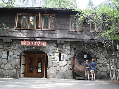
Nearby attractions include: Yosemite Falls, Midnight Lightning, Royal Arch Cascade, Yosemite Museum.
Frequently Asked Questions (FAQ)
Which popular attractions are close to Lost Arrow Spire Tip?
Nearby attractions include Lost Arrow Spire, Yosemite National Park (1 min walk), Yosemite Falls, Yosemite West (6 min walk), Yosemite Museum, Yosemite National Park (15 min walk), The Ansel Adams Gallery, Yosemite National Park (16 min walk).
How to get to Lost Arrow Spire Tip by public transport?
The nearest stations to Lost Arrow Spire Tip:
Bus
Bus
- YARTS Yosemite Valley Visitor Center • Lines: Fresno HWY 41, Mammoth - Hwy 120/395 (12 min walk)
- Valley Shuttle Stop #5 • Lines: Yosemite Valley Shuttle (17 min walk)


