Maunalua Bay, Honolulu
Map
Gallery
Facts and practical information
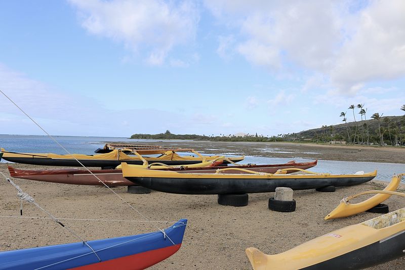
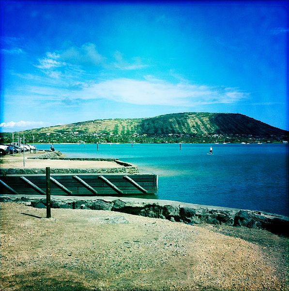
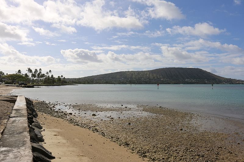
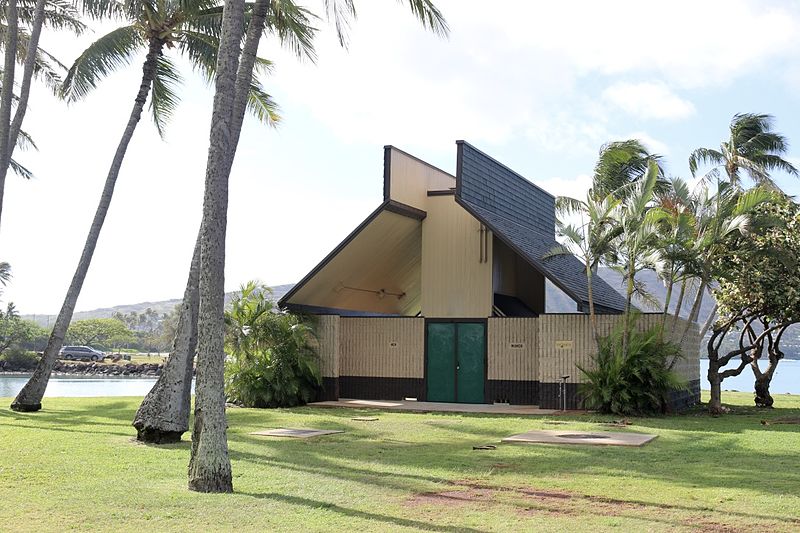
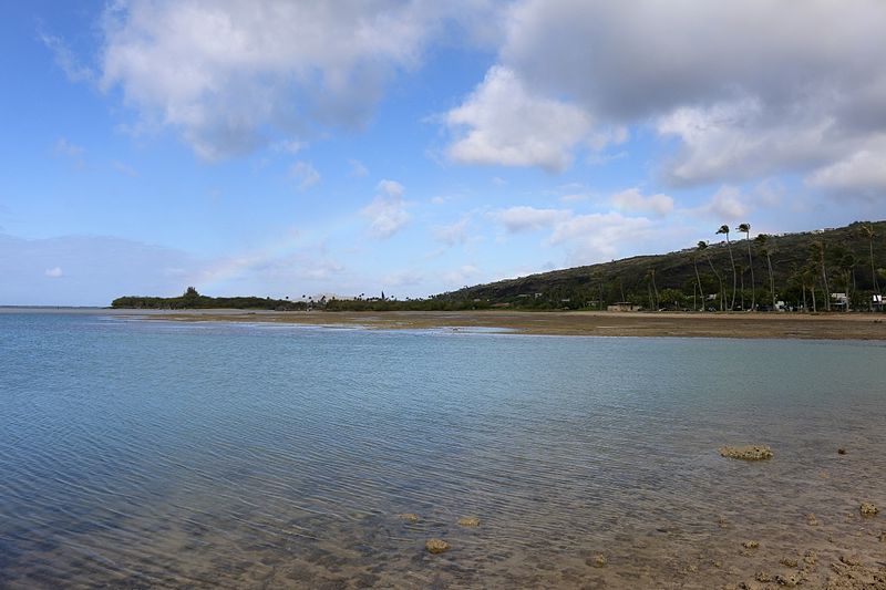
Maunalua Bay is a bay in the southeast of Honolulu, the capital of Hawaiʻi. The bay extends about 6.3 miles from the southern tip of Diamond Head, the Black Point, also called Kūpikipikiʻō, in the west to Portlock Point, also known as Kawaihoa Point, to the east. ()
Day trips
Maunalua Bay – popular in the area (distance from the attraction)
Nearby attractions include: Makapuʻu, Kahala Mall, Sea Life Park, Makapuu Point Lighthouse.
Frequently Asked Questions (FAQ)
How to get to Maunalua Bay by public transport?
The nearest stations to Maunalua Bay:
Bus
Bus
- Keahole Street + Hawaii Kai Park & Ride • Lines: 1, 1L, 80, 80A, Ph6 (7 min walk)
- Hawaii Kai Park & Ride • Lines: 1, 1L, 23, 80, 80A, 82, Ph6 (8 min walk)


