Mears State Park

Gallery (1)
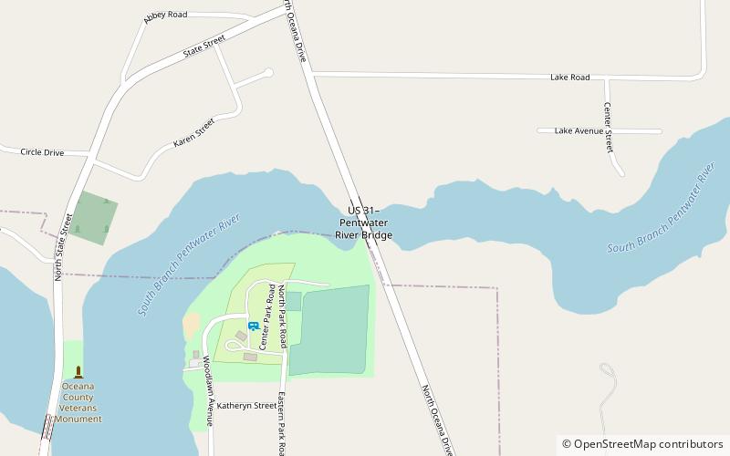
Map
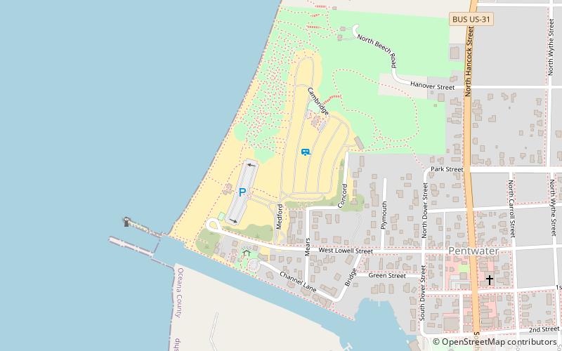
Map
Facts and practical information
Charles Mears State Park is a public recreation area in the village of Pentwater, Oceana County, Michigan. The state park encompasses 50 acres on the north side of the channel that connects Lake Michigan and Pentwater Lake. ()
Established: 1920 (106 years ago)Area: 50 acres (0.0781 mi²)Coordinates: 43°47'0"N, 86°26'20"W
Day trips