Miracle Mile, Coral Gables
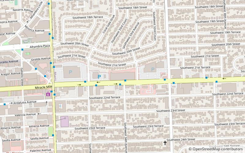
Map
Gallery
Facts and practical information
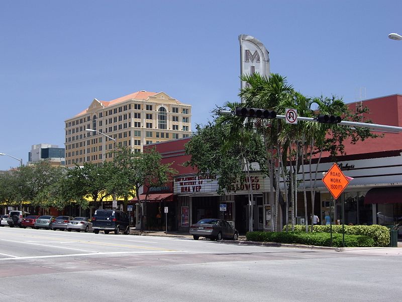
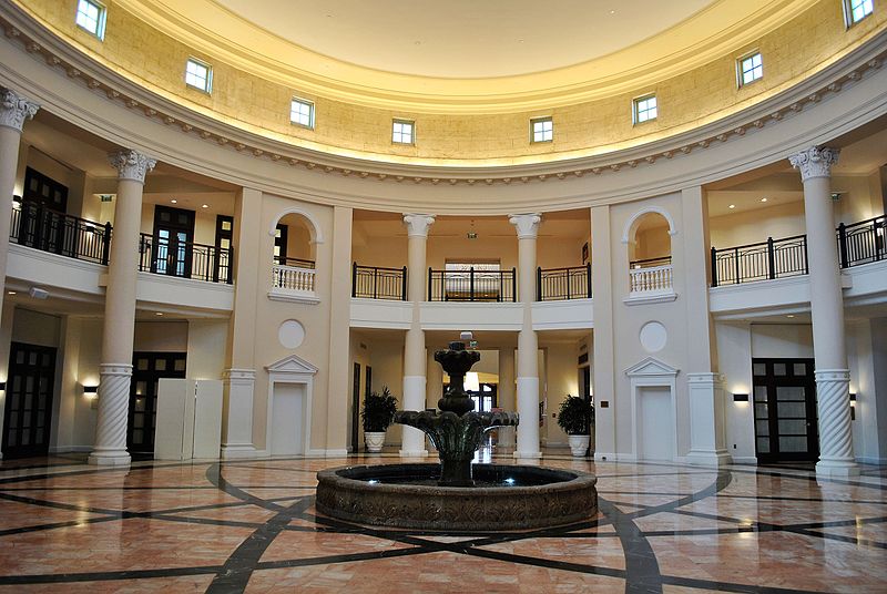
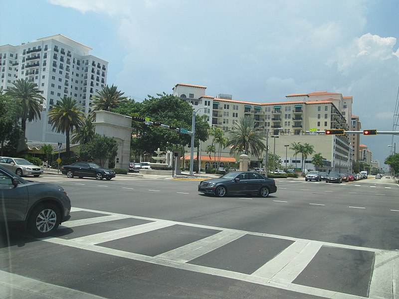
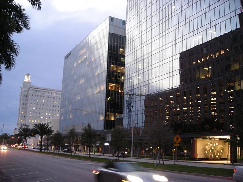
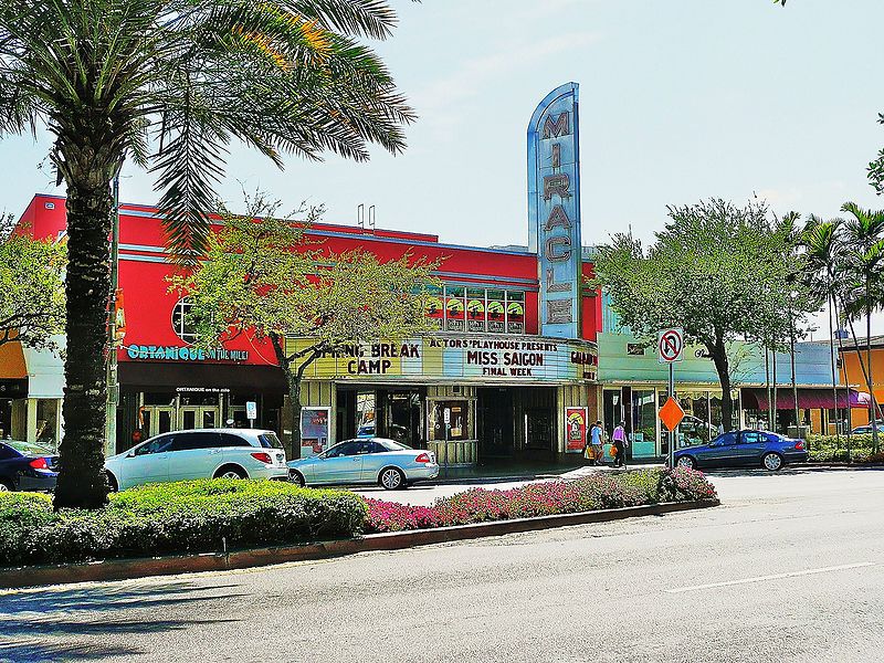
Miracle Mile is a 0.503-mile-long section of Coral Way between LeJeune Road and Douglas Road in the city of Coral Gables, Florida, United States. It is the main east-west road through the city's downtown central business district, consisting of many shops, financial institutions, restaurants and arts institution. The LeJeune Road end of Miracle Mile is anchored by the Coral Gables City Hall. ()
Length: 2656 ftCoordinates: 25°44'59"N, 80°15'31"W
Day trips
Miracle Mile – popular in the area (distance from the attraction)
Nearby attractions include: Shops at Merrick Park, Venetian Pool, Coral Gables City Hall, Coral Gables House.
Frequently Asked Questions (FAQ)
Which popular attractions are close to Miracle Mile?
Nearby attractions include Actors' Playhouse, Coral Gables (4 min walk), Coral Gables Police and Fire Station, Coral Gables (4 min walk), Coral Gables City Hall, Coral Gables (8 min walk), Coral Gables Branch Library, Coral Gables (21 min walk).
How to get to Miracle Mile by public transport?
The nearest stations to Miracle Mile:
Bus
Metro
Bus
- Ponce de Leon Boulevard & Miracle Mile • Lines: Bus Coral Gables Trolley, Cgable, Cor (1 min walk)
- Ponce de Leon Boulevard & Andalusia Avenue • Lines: Bus Coral Gables Trolley (2 min walk)
Metro
- Douglas Road • Lines: Green, Orange (31 min walk)


