Cape Royal Trail, Grand Canyon National Park
#12 among attractions in Grand Canyon National Park


Facts and practical information
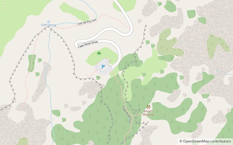
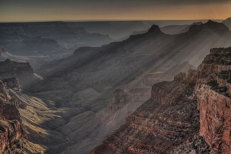
The Cape Royal Trail is a hiking trail on the North Rim of the Grand Canyon National Park, located in the U.S. state of Arizona. ()
Cape Royal Trail – popular in the area (distance from the attraction)
Nearby attractions include: Ochoa Point, Newberry Butte, Sheba Temple, Angels Gate.
 Cliff
CliffOchoa Point, Grand Canyon National Park
128 min walk • Ochoa Point is a 4,761-foot-elevation cliff-summit located in the eastern Grand Canyon, in Coconino County of northern Arizona, US. The landform is on a southeast ridgeline from Apollo Temple, with the Ochoa Point prominence on its southeast terminus.
 Butte
ButteNewberry Butte, Grand Canyon National Park
111 min walk • Newberry Butte is a 5,105-foot-elevation summit located in the Grand Canyon, in Coconino County of northern Arizona, US. It is situated 4.5 miles north of the South Rim's Grandview Point, three miles southwest of Vishnu Temple, and 2.5 miles south of Wotans Throne.
 Mountain
Sheba Temple, Grand Canyon National Park
112 min walk • Sheba Temple is a 4,990-foot-elevation summit located in the eastern Grand Canyon, in Coconino County of northern Arizona, United States.
 Mountain
Angels Gate, Grand Canyon National Park
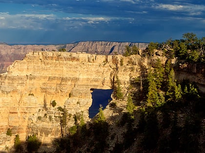
79 min walk • Angels Gate is a 6,761-foot-elevation summit located in the Grand Canyon, in Coconino County of Arizona, United States. It is situated seven miles due north of the Grandview Point overlook on the canyon's South Rim, three miles west of Vishnu Temple, and three point five miles southeast of Zoroaster Temple.
 Mountain
Vishnu Temple, Grand Canyon National Park
61 min walk • Vishnu Temple is a 7,533-foot-elevation summit located in the Grand Canyon, in Coconino County of Arizona, US. It is situated two miles south-southeast of the Cape Royal overlook on the canyon's North Rim, 1.5 mile south of Freya Castle, and two miles east-southeast of Wotans Throne, its nearest higher neighbor.
 Mountain
Freya Castle, Grand Canyon National Park
26 min walk • Freya Castle is a 7,288-foot-elevation summit located in the Grand Canyon, in Coconino County of northern Arizona, US. It is situated one mile southeast of the Cape Royal overlook on the canyon's North Rim, 1.5 mile north of Vishnu Temple, and 1.7 mile northeast of Wotans Throne.
 Mountain
Deva Temple, Grand Canyon National Park
130 min walk • Deva Temple is a 7,353-foot-elevation summit located in the Grand Canyon, in Coconino County of northern Arizona, USA. It is situated three miles south of the North Rim's Bright Angel Point, and towers 3,700 feet above Bright Angel Canyon.
 Mountain
The Howlands Butte, Grand Canyon National Park
99 min walk • The Howlands Butte, elevation 5,572 feet, is a minor butte in the southeast drainage of the very large Clear Creek drainage. Clear Creek is a medium length flowing creek, just upstream of the major Bright Angel Creek outfall into the Colorado River, Granite Gorge.
 Mountain
Rama Shrine, Grand Canyon National Park
85 min walk • Rama Shrine is a 6,406-foot-elevation platform-summit located in the eastern Grand Canyon, in Coconino County of northern Arizona, United States. The Shrine is named for Rama, the Hindu god of chivalry and virtue.
 Mountain
Jupiter Temple, Grand Canyon National Park
87 min walk • Jupiter Temple is a 7,084-foot-elevation summit located in the Grand Canyon, in Coconino County of northern Arizona, United States.
 Butte
ButteSolomon Temple, Grand Canyon National Park
124 min walk • Solomon Temple is a 5,121-foot-elevation summit located in the Grand Canyon, in Coconino County of northern Arizona, USA. It is situated four miles north of Moran Point, 3.5 miles east of Newberry Butte, and 1.5 mile southeast of Rama Shrine, its nearest higher neighbor.
