La Playa, San Diego

Map
Facts and practical information
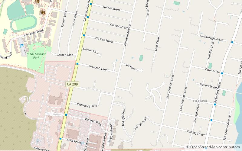
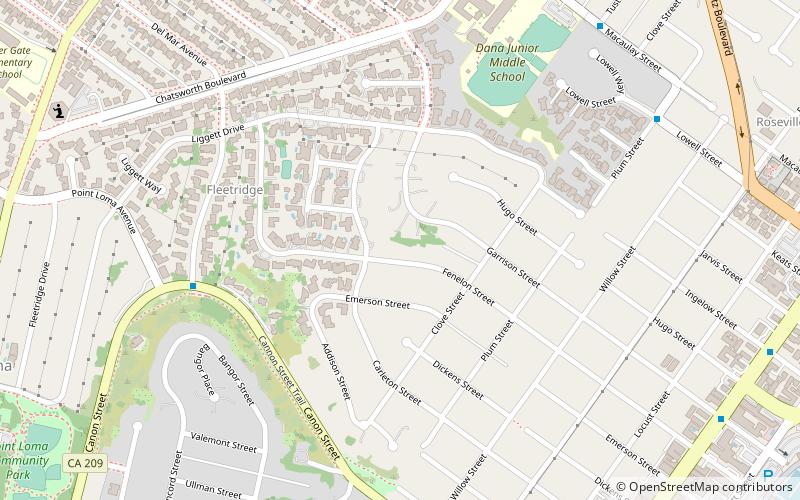
La Playa is a bayfront neighborhood in the Point Loma community of San Diego, California. It is bordered by the San Diego Bay on the east, Naval Base Point Loma on the south, the Wooded Area neighborhood to the west and Point Loma Village/Roseville-Fleetridge to the north. It lies across a channel from Shelter Island. ()
Coordinates: 32°42'44"N, 117°14'42"W
Address
Point Loma Peninsula (Wooded Area)San Diego
ContactAdd
Social media
Add
Day trips
La Playa – popular in the area (distance from the attraction)
Nearby attractions include: San Diego Yacht Club, Portuguese Historical Center, Point Loma Nazarene University, Save Kellogg Beach.
Frequently Asked Questions (FAQ)
Which popular attractions are close to La Playa?
Nearby attractions include Point Loma Nazarene University, San Diego (13 min walk), Save Kellogg Beach, San Diego (13 min walk).


