Mount Horrid, Brandon

Map
Facts and practical information
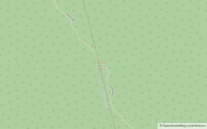
Mount Horrid is a summit in Addison and Windsor counties, Vermont in the United States. With an elevation of 3,205 feet, Mount Horrid is the 83rd highest summit in the state of Vermont. ()
Coordinates: 43°51'1"N, 72°58'2"W
Address
Brandon
ContactAdd
Social media
Add
Day trips
Mount Horrid – popular in the area (distance from the attraction)
Nearby attractions include: Branbury State Park, Lake Dunmore, Mount Carmel State Forest, Moosalamoo National Recreation Area.


