Signal Peak, Pine Valley Mountain Wilderness
Map

Map

Facts and practical information
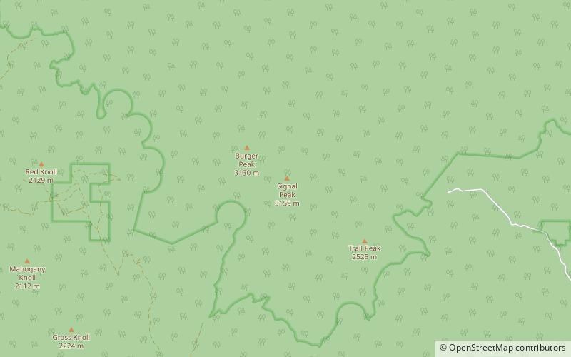
Signal Peak, with an elevation of 10,369 feet, is the highest peak in the Pine Valley Mountains and in Washington County in southwestern Utah, United States. Signal Peak is located north of the city of St. George and south of the community of Pine Valley in the Dixie National Forest. The summit is the highest point in the Pine Valley Mountain Wilderness. ()
Elevation: 10369 ftProminence: 4485 ftCoordinates: 37°19'11"N, 113°29'31"W
Address
Pine Valley Mountain Wilderness
ContactAdd
Social media
Add
Day trips
Signal Peak – popular in the area (distance from the attraction)
Nearby attractions include: Pine Valley Chapel and Tithing Office, Black Mountains, Pine Valley Mountains.


