Bandon State Natural Area, Bandon
Map

Map

Facts and practical information
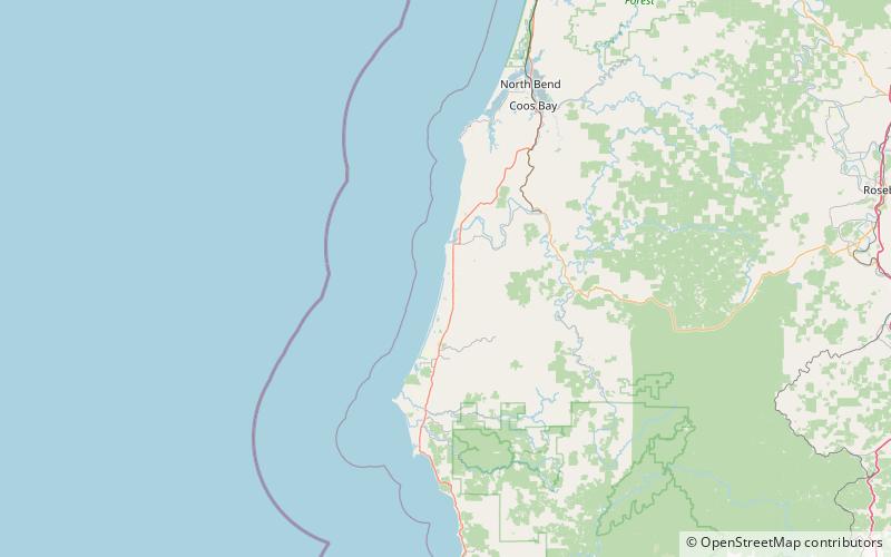
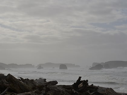
Bandon State Natural Area is a state park in the U.S. state of Oregon. It is administered by the Oregon Parks and Recreation Department. The 879-acre park lies west of U.S. Route 101, off Beach Loop Drive, about 5 miles south of Bandon. The Oregon Coast Trail passes through the park. ()
Created: 1970Visitors per year: 27 thous.Elevation: 23 ft a.s.l.Coordinates: 43°3'23"N, 124°26'6"W
Day trips
Bandon State Natural Area – popular in the area (distance from the attraction)
Nearby attractions include: Port of Bandon, Coquille River Light, West Coast Game Park Safari, Face Rock State Scenic Viewpoint.


