Chickies Ridge, Marietta

Gallery (3)
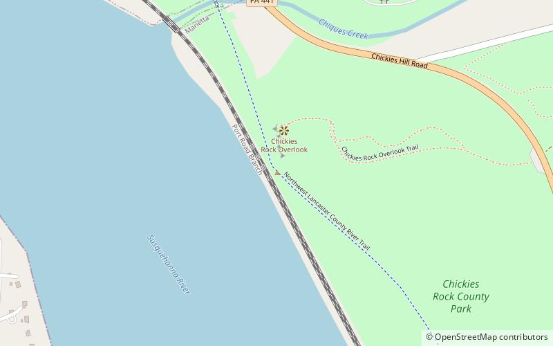
Map
Map
Gallery
Facts and practical information
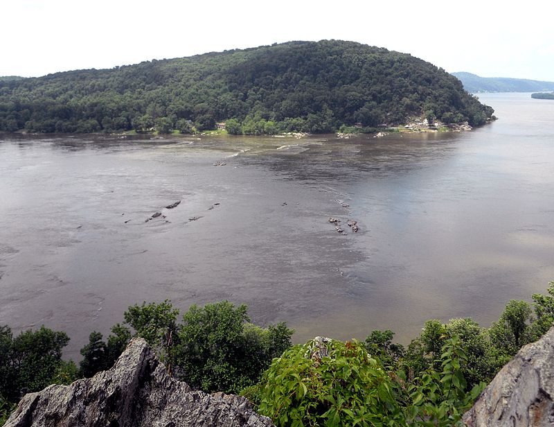
Chickies Ridge is a long ridge in West Hempfield Township, Lancaster County, Pennsylvania, terminating at the west end in an outcropping overlooking the Susquehanna River, known as Chickies Rock. ()
Elevation: 525 ftCoordinates: 40°3'4"N, 76°31'30"W
Address
Marietta
ContactAdd
Social media
Add
Day trips
Chickies Ridge – popular in the area (distance from the attraction)
Nearby attractions include: National Watch and Clock Museum, Susquehanna and Tidewater Canal, Marietta Restoration Associates, Wright's Ferry Mansion.


