Mount Emily, Rogue River–Siskiyou National Forest
Map

Map

Facts and practical information
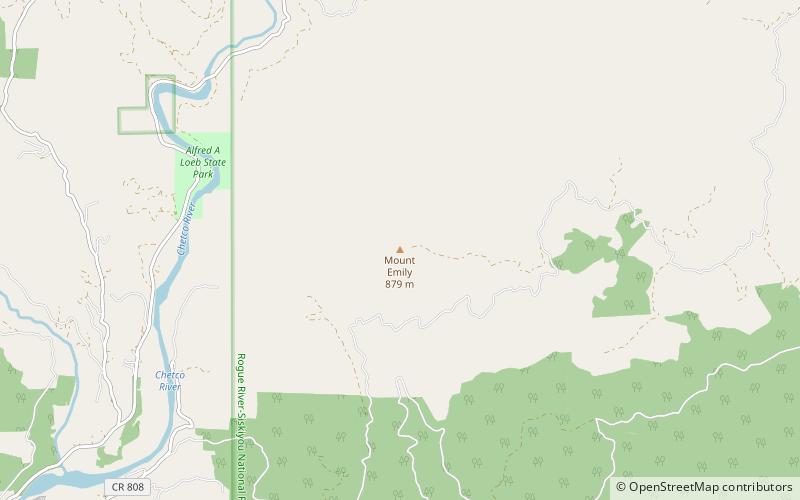
Mount Emily is a mountain in the Klamath Mountains of southwestern Oregon in the United States. It is located in southern Curry County in the extreme southwest corner of the state, near Brookings, approximately 5 miles from the Pacific Ocean and 5 miles from the California state line. ()
Elevation: 2925 ftProminence: 1285 ftCoordinates: 42°6'8"N, 124°9'14"W
Address
Rogue River–Siskiyou National Forest
ContactAdd
Social media
Add
Day trips
Mount Emily – popular in the area (distance from the attraction)
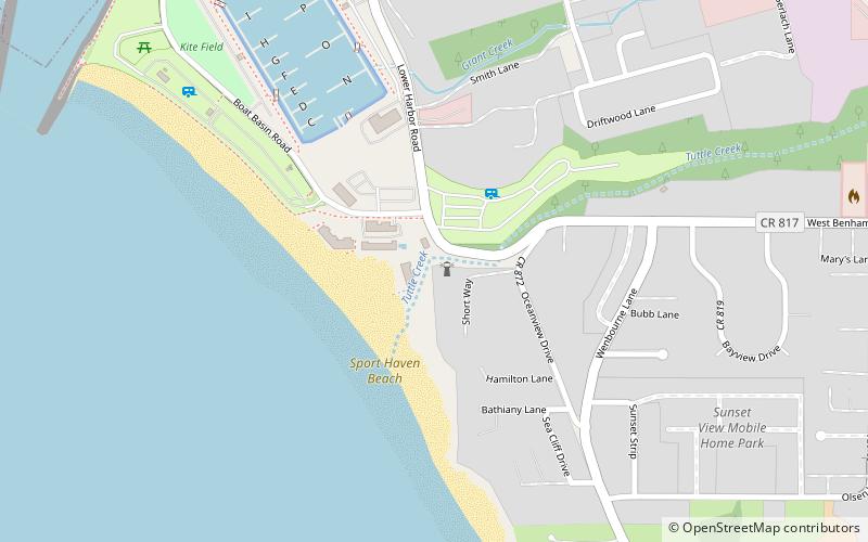
Nearby attractions include: Alfred A. Loeb State Park, Pelican Bay Light.


