Roads End State Recreation Site, Lincoln City
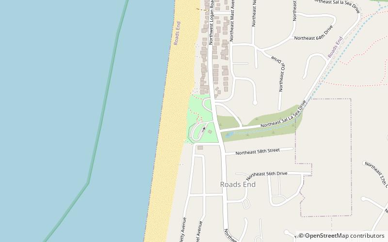
Map

Map

Facts and practical information
Roads End State Recreation Site is a state park in the U.S. state of Oregon, administered by the Oregon Parks and Recreation Department. ()
Elevation: 43 ft a.s.l.Coordinates: 45°0'30"N, 124°0'32"W
Address
Off US 101, 1 mi. N of Lincoln CityLincoln City
ContactAdd
Social media
Add
Day trips
Roads End State Recreation Site – popular in the area (distance from the attraction)
Nearby attractions include: Chinook Winds Casino, Devils Lake State Recreation Area, North Lincoln County Historical Museum, Devils Lake.
Frequently Asked Questions (FAQ)
How to get to Roads End State Recreation Site by public transport?
The nearest stations to Roads End State Recreation Site:
Bus
Bus
- Lincoln City • Lines: 4 (20 min walk)
- Chinook Winds • Lines: 60X (21 min walk)


