Wilton Mountain, Ouachita National Forest
Map

Map

Facts and practical information
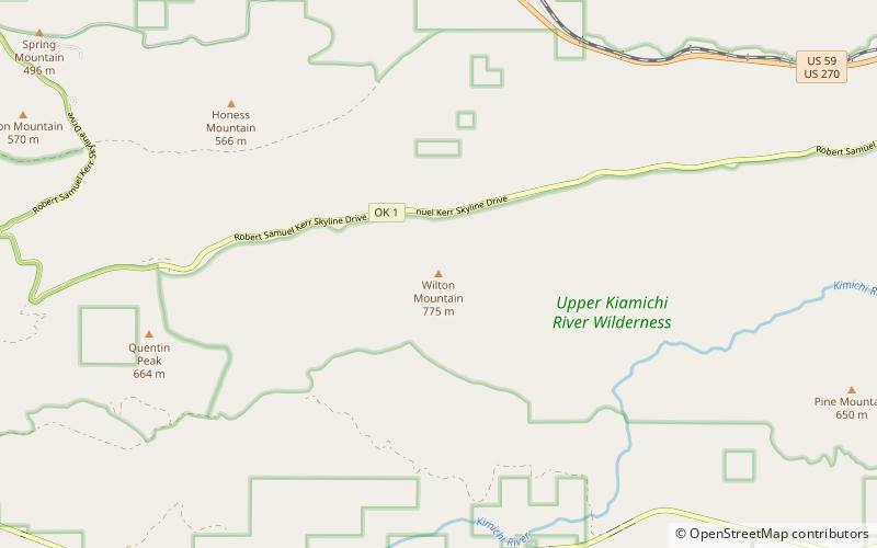
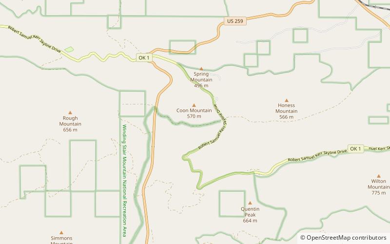
Wilton Mountain, in Ouachita National Forest, is a summit in the Ouachita Mountains in Le Flore County, Oklahoma, approximately 2 miles from U.S. Route 59 and approximately 6 miles west of the Arkansas state line. Wilton Mountain is 2,543 feet above mean sea level ()
Elevation: 2543 ftCoordinates: 34°40'42"N, 94°34'1"W
Address
Ouachita National Forest
ContactAdd
Social media
Add
Day trips
Wilton Mountain – popular in the area (distance from the attraction)
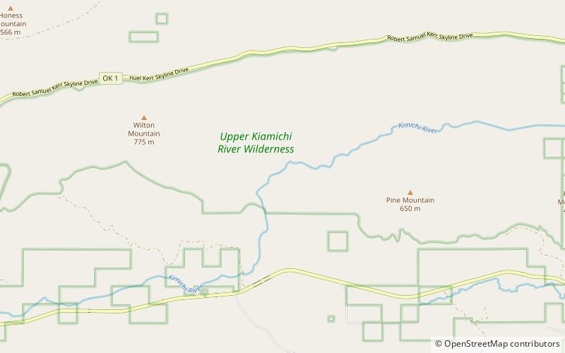
Nearby attractions include: Robert S Kerr Arboretum, Upper Kiamichi River Wilderness.


